Date: 2004/05/29
Companions: (solo)
Route: Ascent: Southeast Ridge, class 2; descent: French Creek, class 2.
Notes:
Perusing the topo showed that the fastest looking route up English Mountain was the SE ridge which gained about 1200' in 1.5 miles. I figured after that easy ascent I could drive the 4 miles from there to Jackson Meadow Reservoir and pick up the paved road to take me over to Mount Lola, climb that, and come out in Truckee in time for a nice dinner.
After an hour of driving (and ~20 miles) on dirt roads off of SR20 I came to French Creek. Perhaps I am a novice off-road driver but it looked too deep for my Subaru so I decided to walk a mile up the road to pick up the SE ridge. I donned my Tevas and trudged through the calf-deep creek. About 3 minutes later, after changing into my boots on the other side of the creek, a few dirt-bikers showed up. One was kind enough to let me hitch a ride for the last mile up the road.
After leaving my taxi at the 6,820' contour, I headed cross-country SW meeting the SE ridge at about the 7,280' level. From there I pretty much followed the ridge, occasionally bypassing obstacles on either side and reaching the summit in about 70 minutes from the motorcycle drop off. Is this the easiest (fastest to climb) SPS peak? The views from this summit were outstanding, the best of the peaks in the Northern Sierra region of the SPS peak list (of peaks I've done!).
I signed the summit register (first in 2004) and headed down. I decided to head down the French Creek drainage in order to avoid walking down the road for a mile. This consisted of snowfields and class 2 slopes. I arrived at my sandals on the south side of the creek in about an hour and found a log crossing about 20 feet upstream of where the creek crosses the road.
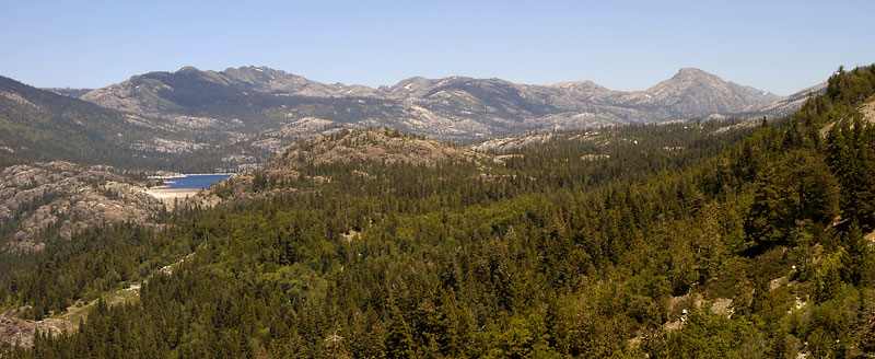
The picture below shows English Mountain on the far right from the Emigrant Gap vista point on I80. Bowman Lake is on the left.